Midwest Energy Embraces Drone Technology for Line Patrol, Mapping Tasks
During a power outage, one of the first and most important tasks is to patrol the line to inspect for damage. Linemen use a variety of methods to patrol power lines, and new technologies hold promise in making line patrols faster, safer and cheaper to do.
Midwest Energy linemen conduct aerial patrols from light aircraft and helicopters, a potentially dangerous exercise given how close aircraft must fly to the lines, as well as an expensive one. Surveying from the ground, linemen use trucks, ATV’s and depending on the weather, even snowmobiles.
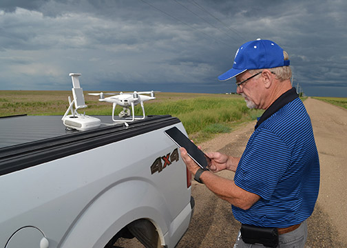
Over the last year, Midwest Energy’s Operations Department has integrated a drone into that mix, and in early June 2019 used the drone for the first time to survey a storm-damaged transmission line in Rush and Hodgeman Counties, when flooding made roads and pastures impassable. 
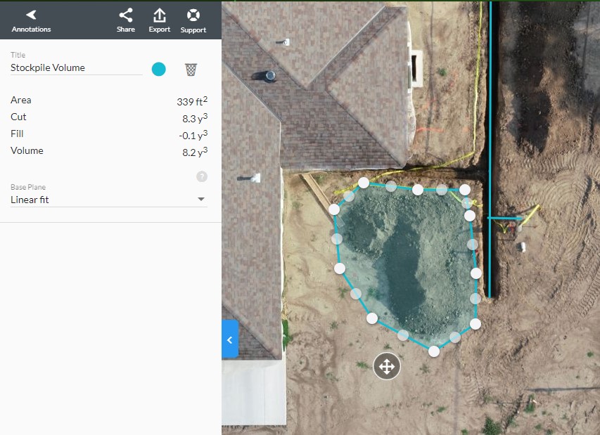
“Several utilities have been using drones for some time,” said Dale Giebler, Midwest Energy’s Operations Construction & Project Manager, who also is the co-op’s drone pilot. “We bought our drone in June 2018, and since then have been able to patrol storm damage, verify maintenance work, document switching hardware in substations, perform line inspections and map parts of the gas system. It can take GPS points, and it can hover and zoom in close to take very high-resolution photos and video.”
Giebler said the co-op has about $3,000 invested in its drone, including extra batteries and accessories that enable him to fly the drone several hours each day.

To become a drone pilot, Giebler attended a three-day course at Kansas State Polytechnic in Salina, Kansas, home to one of the largest enclosed unmanned aircraft system (UAS) flight facilities in the nation. Upon completion, Giebler received his Federal Aviation Administration UAS Remote Pilot Certificate, and was ready to fly.
“The FAA imposes some limitations on how we use the drone,” Giebler said. “We have to operate under 400 feet, unless we’re flying to inspect a radio tower, and we have some restricted areas around airports, including the one in Hays. I won’t fly when the winds are more than 20 miles per hour, as it makes it difficult to fly, and we have to stay within line of sight of the drone when flying,” he added.
Since starting the program, Giebler is spending a bigger percentage of his time with the drone, something he thinks makes sense for the co-op. “We keep finding new tasks for it, and new uses seem to pop up every day,” Giebler said.